Blog
Articles & news
Follow the latest articles on geospatial technologies, surveying, 3D scanning and innovations in construction and agriculture.
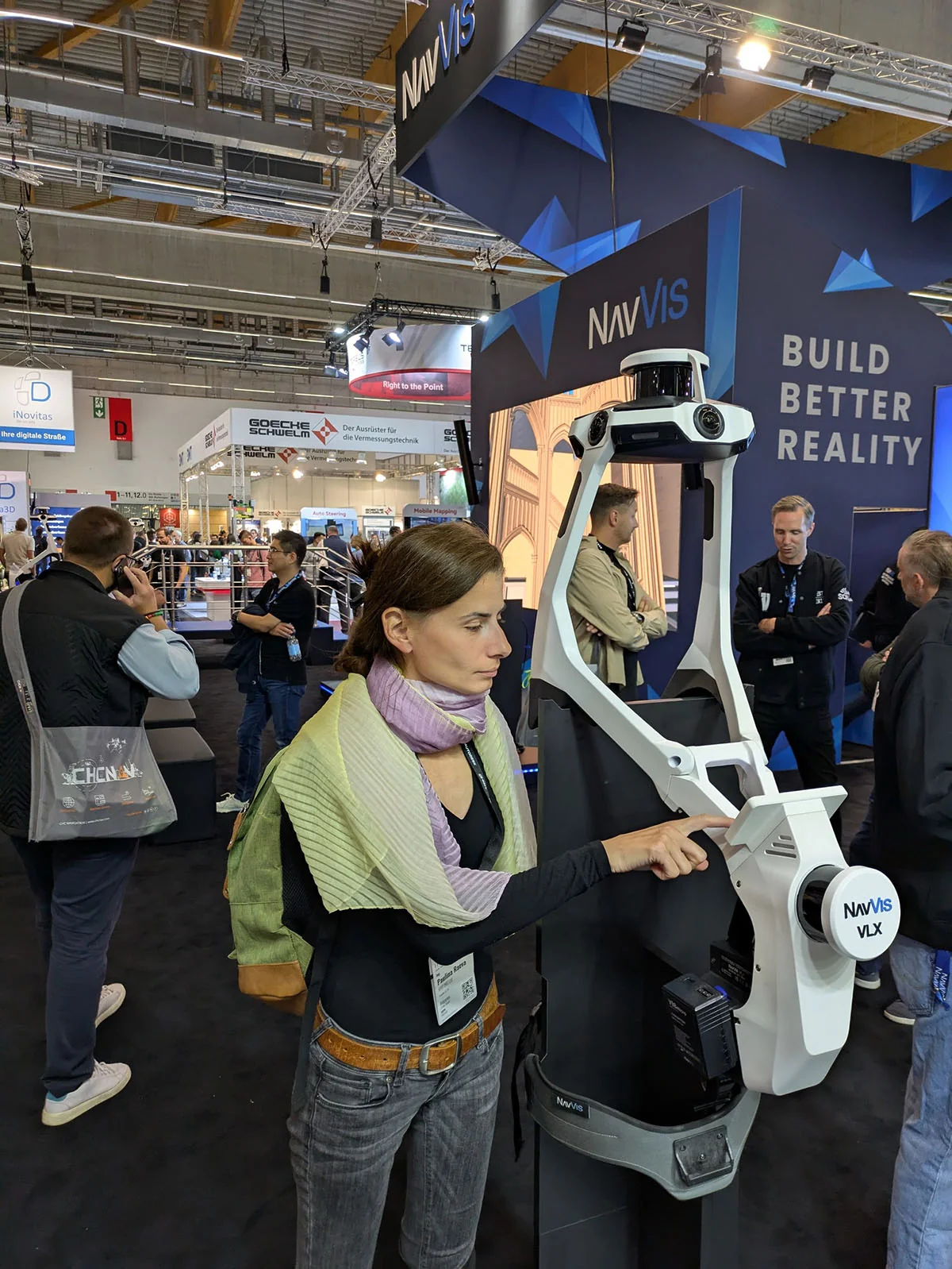
INTERGEO 2025: Geodesy Is Now Geoinformatics, but the Concept Is Getting Lost
I have attended INTERGEO many times. This year — Frankfurt, 2025 — the world of geospatial technologies showed where it is headed, but also what is still missing.
2025-10-01Read more →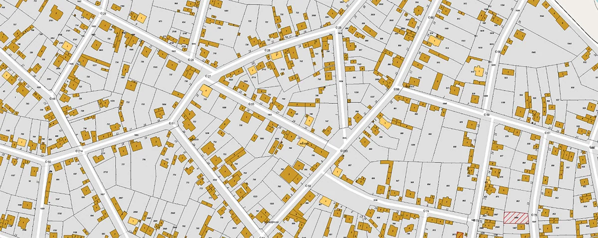
How to Work with Open Data from CADIS?
A common question we receive is "How can I work with cadastral data?" Since late 2024 the answer is yes — learn how to work with open cadastral data in QGIS and LibreCAD.
2025-09-01Read more →