I have attended the INTERGEO exhibition many times — my first visit was back in 2017 in Berlin, when the idea of a "Digital Twin" sounded like a futuristic concept. Since then, the world of geospatial technologies has changed dramatically — geodesy is now geoinformatics, and measurement has become an art of data.

Today, INTERGEO is not just a forum for hardware and instruments — it is a showcase of intelligent systems, cloud platforms and integrated software solutions that connect sensors, data and analysis in a unified digital process.
And yet… there is one slight disappointment I cannot overlook.
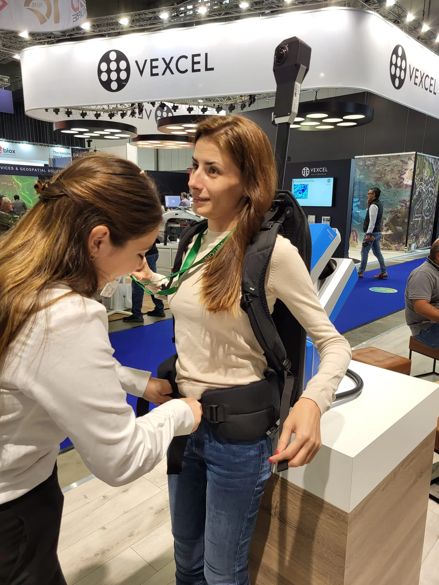
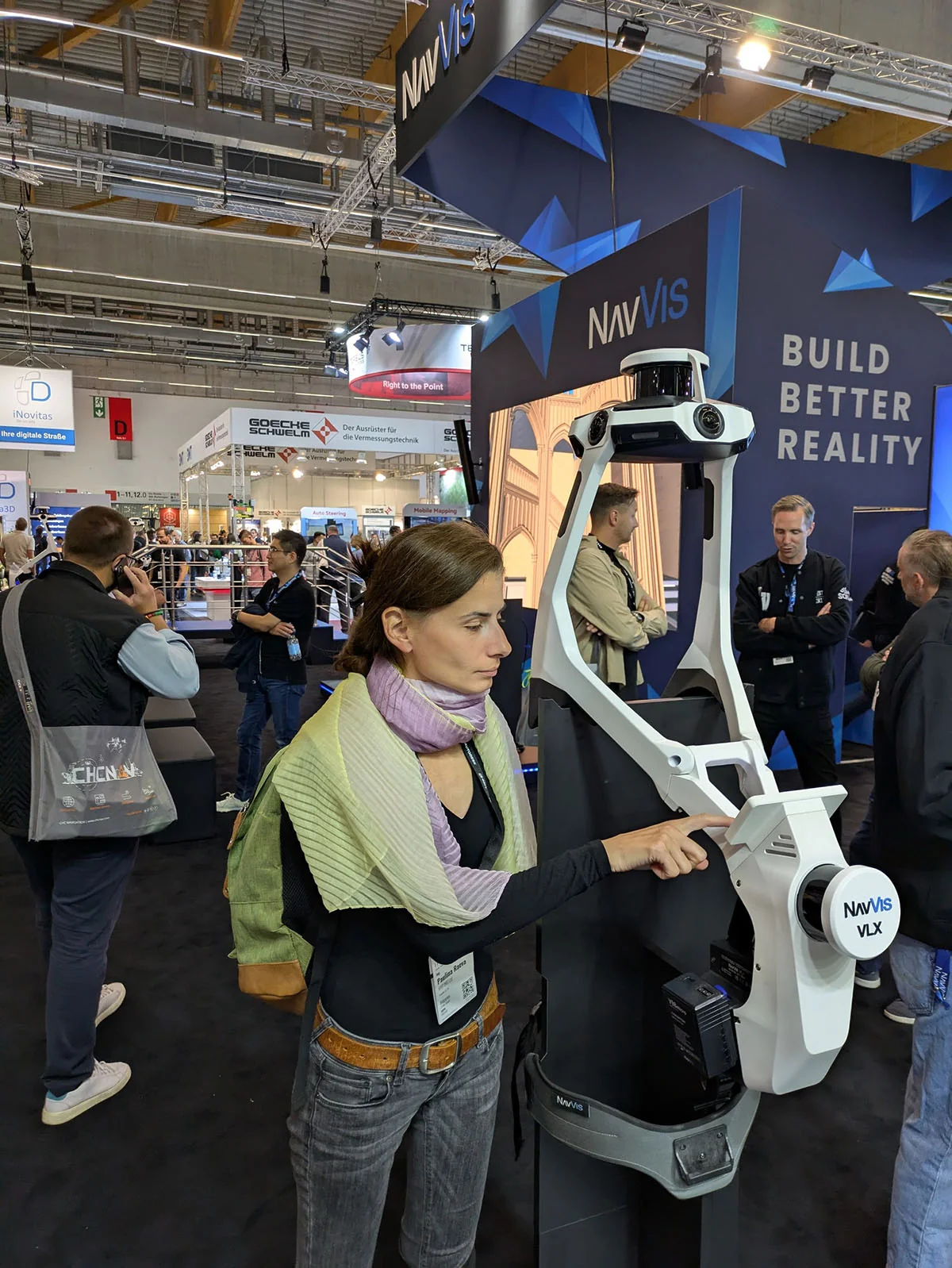
Among the stands lit by neon logos and interactive displays, the measurement instruments look disconcertingly similar. Different companies, the same vision — familiar bodies, identical interfaces, nearly copy-pasted specifications. Only the brand name reminds you that this is a "new model".
The real evolution is not in the plastic casing — it lies in how we integrate measurements, data and analysis into a unified geoinformation ecosystem (be it GIS or BIM). That is where the future of our profession is being made.
INTERGEO 2025 made it clear:
- Geodesy is no longer just about accuracy — it is about context;
- The engineer is no longer just an operator — they are a data analyst;
- And data is not the end result — it is the beginning of an intelligent solution.
And while the instruments continue to look alike, the thinking in geoinformatics is becoming increasingly different from the conventional approach.