Who we are
MAP.ING Ltd. is a company specialising in geospatial technologies — surveying, 3D laser scanning, GIS, Scan to BIM, photogrammetry and digital agriculture.
How it all began
MAP.ING was founded with a clear vision — to use geospatial technologies for real, measurable results. Created by engineers with years of experience in surveying, photogrammetry and remote sensing, the company combines Bulgarian expertise with a global scale.
Mission: To digitise the real world with precision, intelligence and sustainability.
What we do
We are a multidisciplinary team of engineers, surveyors, BIM specialists and GIS analysts who believe that data must speak clearly and lead to action. Combining science, technology and experience, we deliver high-quality services for clients in construction, infrastructure, cultural heritage and agriculture.
- Scan-to-BIM — from laser scanning to intelligent digital twins
- Surveying & Design — millimetre-level precision
- GIS & Remote Sensing — analyses for agriculture, urban areas and natural resources
- Photogrammetry & 3D models — fast, effective and visually impactful processing of terrains and objects
- Real estate valuation — market and expert valuation for investments, transactions and mortgages

"MAP.ING is not just a business — it is my cause, through which I strive to create innovative, digital and accessible geospatial solutions."
Media coverage
This year the Copernicus Masters innovation contest once again looked for new ideas for application…

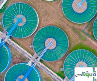
Water monitoring is of great importance to the national security of every country. Water reservoirs are…
On 8 December 2020, the festive Space Awards ceremony of Copernicus Masters 2020 took place…

Hundreds of hackers compete in each hackathon to take home the top spots. Meet…